Independent field note
Cycling the Great Oaks loop from Bazouges
The Great Oaks loop connects town, forest and Couesnon countryside on a purposeful day ride, but its small roads require more preparation than a traffic-free trail.
Find the place
Address and maps
Bazouges start — Tourist Office
The official circuit starts in Bazouges village. Take the current route sheet before riding.
A loop that explains the landscape
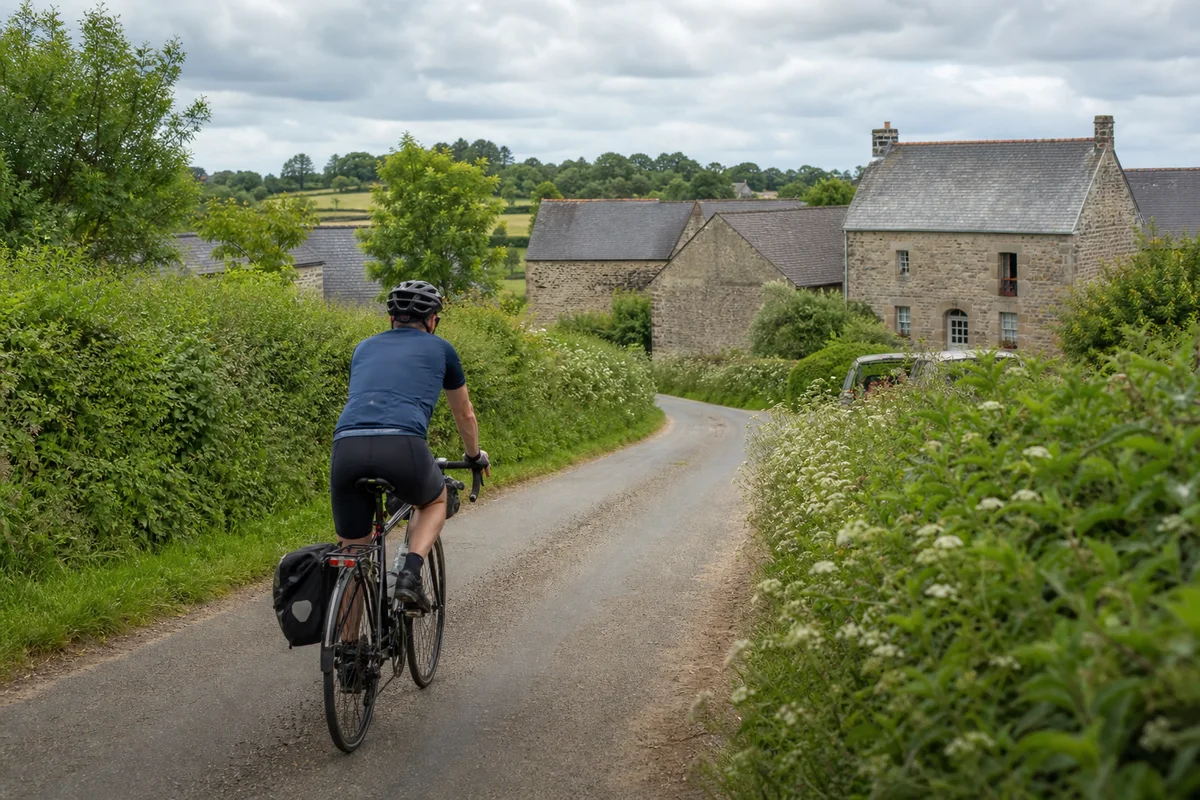
The Chemin des Grands Chênes is more than exercise around Bazouges-la-Pérouse. Its official itinerary connects the historic town, Villecartier Forest and a countryside shaped by hills, the nearby Couesnon and visible granite. The changes of setting give the ride its character.
It is also important to understand what the name does not promise. This is a leisure cycling circuit that uses local roads; it is not a continuous protected greenway. Riders need confidence around occasional vehicles, junctions, farm traffic and descents where the view ahead may be short.
Use the official route as the authority
Start with Brittany Tourism’s Chemin des Grands Chênes route page. Download or print the current route material and read its latest distance, difficulty and points of interest there. Those details belong with the route manager because a diversion or revised assessment can make an old summary misleading.
Save the trace offline, but compare it with signs on the ground. A phone mounted on the handlebars is useful only if its battery, weather protection and map access survive the whole ride. Carrying a simple backup map prevents a missed junction from becoming a long rural detour.
Decide whether the loop fits the group
Assess the least experienced rider rather than the average. Rolling terrain can turn a comfortable flat-road distance into a demanding day, especially with wind. Check road exposure, likely surface, climbing and opportunities to shorten the outing before setting off.
For children, trailers or adapted cycles, obtain current route advice instead of assuming that a tourism classification answers every question. An e-bike reduces some effort but does not remove handling, traffic or range considerations.
Build the stops around the ride
Bazouges is a sensible place to make final checks and to save a heritage walk for after the bicycle is secured. Do not leave valuables visible while exploring the town. If a café or shop matters to the plan, verify it directly rather than assuming it will open when the ride returns.
Villecartier offers a change of pace, but forest footpaths are not automatically cycle routes. Follow the signed itinerary and any local instruction. Organised lakeside activities have their own calendars; enjoy them only when they have been checked and the extra time does not threaten a safe return.
What to carry
Bring water, food, weather layers, lights and a repair kit matched to the bicycle. A spare tube is not enough if nobody knows how to remove the wheel; practise the likely repair or know whom you could call. Check brakes, tyres and battery range before leaving the town.
On shared or narrow roads, ride predictably, slow before blind bends and leave space for other users. Do not spread across the carriageway for a conversation. Around homes, livestock and walkers, a calm pace is part of being a welcome visitor.
If the plan changes
Wind, rain, heat or a mechanical problem should be able to shorten the day. Identify possible decision points on the official map and avoid adding an unverified shortcut. If the whole loop no longer makes sense, the Bazouges art and heritage walk provides a worthwhile activity without pretending that a cancelled ride must be replaced kilometre for kilometre.